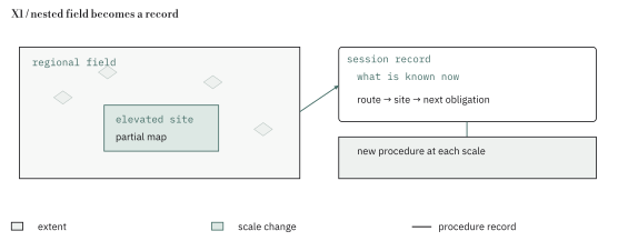
Module case studies · X1
The Isle of Dread
Atlas pages 31–32
In this chapter
A route that becomes a record
The party acquires a partial record before it acquires a route. In the 1983 revision used here, a recovered ship’s log and an incomplete map lead the characters toward the island, and the referee may let players read the log themselves. Local investigation supplies corroboration, then the group must arrange transport. The text offers several financial and practical arrangements for obtaining a vessel, so even the journey begins with decisions that attach the expedition to people and resources outside the destination. [X1, digital pp. 6–7]
Once the party lands, the map changes through use. The exploration procedure permits characters to chart neighboring hexes, but mountains and dense vegetation can block their sight. The referee therefore manages two records at once: the more complete geography available behind the screen and the partial geography assembled by the players as they move. Drawing a newly visible ridge is an event in the adventure because it alters the next route the group can choose. The numbered locations anchor particular encounters while the wandering-monster tables supply movement and uncertainty between them. [X1, digital pp. 8–9]
The book also changes the scale of the expedition. Its introductory division into the general island, the central plateau and Taboo Island gives the referee three manageable areas; the maps nest smaller encounter sites within the larger terrain. The procedures change at these thresholds. The plateau calls for encounter checks after travel through three hexes, whereas the Taboo Island instructions dispense with wandering encounters. This difference matters to pacing. The approach consumes distance under a repeated chance of interruption, and the final temple concentrates attention on the encounters already keyed there. [X1, digital pp. 4, 23, 25]
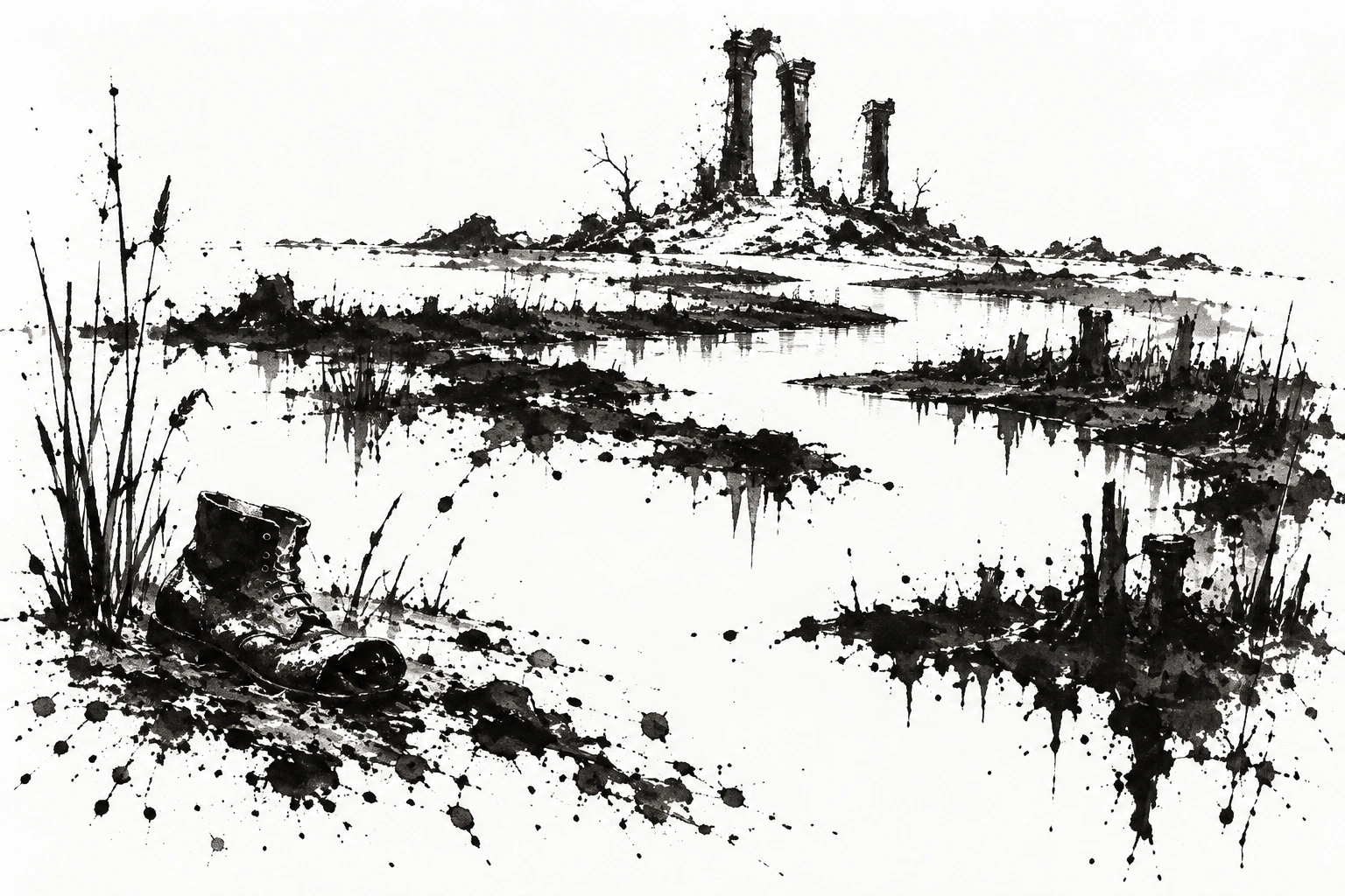
The Isle of Dread
A proposed scale diagram places a broad expedition field, a smaller elevated field and an enclosed site beside their travel procedures. An incomplete player map shares coordinates with the referee’s fuller map, allowing each newly visible ridge or pass to be located on both. As the party moves inward, the diagram changes the scale and the encounter procedure together. The reader can then follow the shift from travel interrupted by uncertain encounters to the concentrated inspection of a keyed temple.
The appendix then reopens places already explored. It proposes surveying the island, confronting pirates and transporting a living creature, among other possible missions. Each continuation gives a familiar location a different job as the party’s objective changes. The survey proposal makes this especially concrete. The players’ map becomes the expedition’s product, and the group must decide where to travel to complete it, what gaps remain and how to carry its discoveries home. [X1, digital p. 29]